Upload a photo.
We help verify where it may have been captured.
Industry Solution
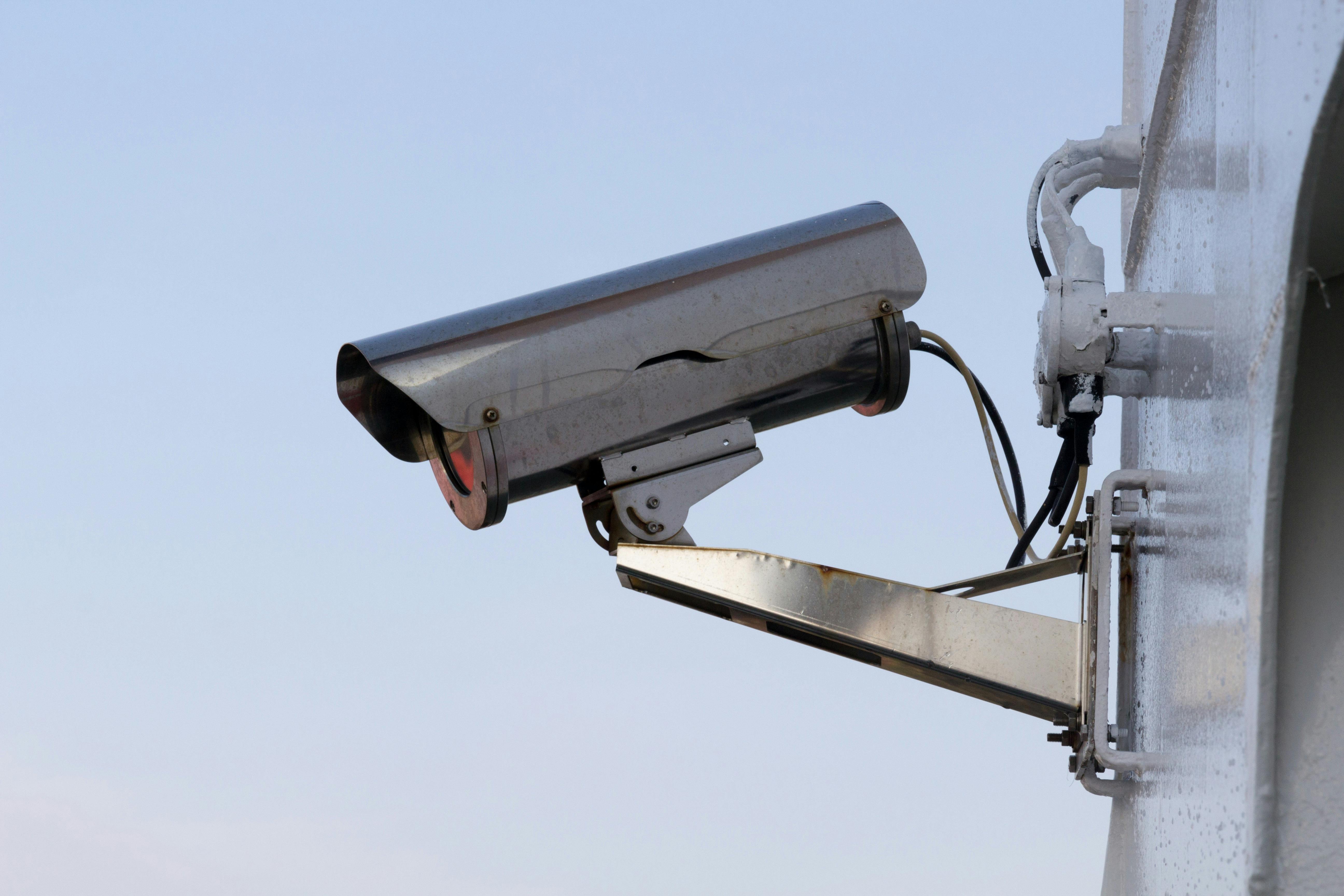
Security
Validate incident imagery and organize location context quickly.
[Explore workflow]Phase 1
Phase 2
Phase 3
Incident Review — The Data
Incident reviews move fast. Analysts need location context in seconds, not hours.
Review Volume Trends
Illustrative review categories for enterprise workflows
Image Intelligence Gap
Sources vary by customer workflow and authorized records
Oceanir For Security Teams
How Oceanir Is Utilized
From camera stills to drone footage — location verification without metadata.
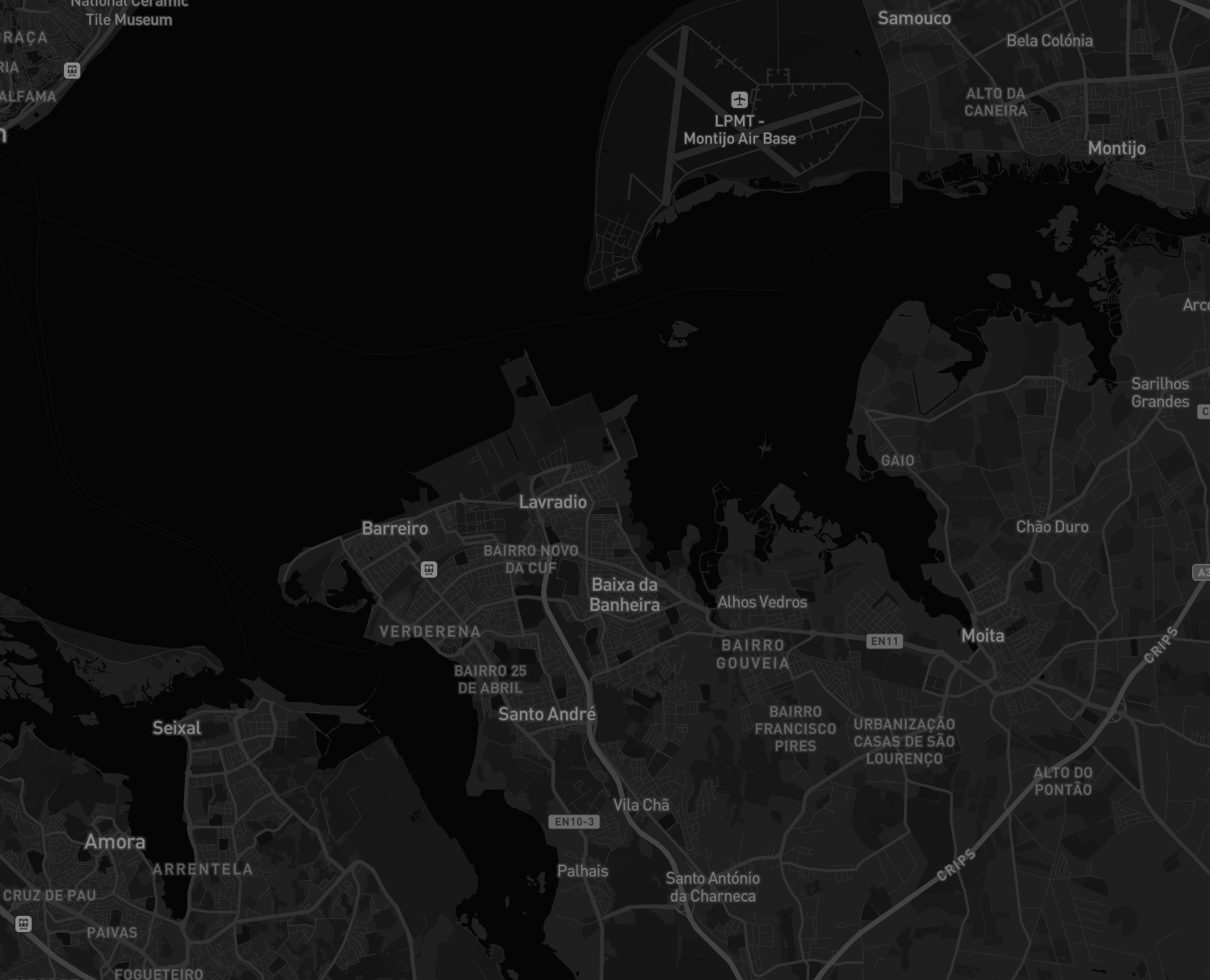
Verify vehicle locations from authorized image sources.
Security teams receive authorized footage, fleet dashcam captures, and incident scene photos with no metadata. Oceanir reviews where the image may have been captured from visual cues alone, including road markings, signage, and building geometry. Analysts verify whether the media aligns with the claimed location and document discrepancies in minutes instead of days.
Verify drone and aerial imagery without flight logs.
Drone footage can arrive without GPS tracks because of compression, export settings, or missing platform data. Oceanir reviews terrain patterns, infrastructure geometry, and environmental context to return ranked location candidates. Analysts verify airspace incident reports and document visual ground truth after the fact.
Competitive Reality
Other tools search for copies. Oceanir verifies visual evidence with ranked context.
Verify incidents faster
When incident reports arrive as unstructured images, Oceanir gives analysts location context in seconds so triage moves faster.
Start a projectWhy Oceanir
Oceanir fills the gap between manual map work and simple reverse-search tools. It is built for analysts who need speed and a clear evidence trail. Human reviewers always make the final call.
Request A Pilot
Run Oceanir on your incident imagery
We set up a 30-day proof-of-concept against your incident imagery. No integration required — just image files and report IDs. You get incident verification reports with location evidence for every flagged submission.
Most tools index reposted media. Oceanir focuses on location verification for new imagery and returns confidence-ranked candidates.
Yes. Enterprise workflows can be configured for stricter handling of sensitive media and controlled access.
Treat output as review context with confidence and evidence, then validate against internal sources.