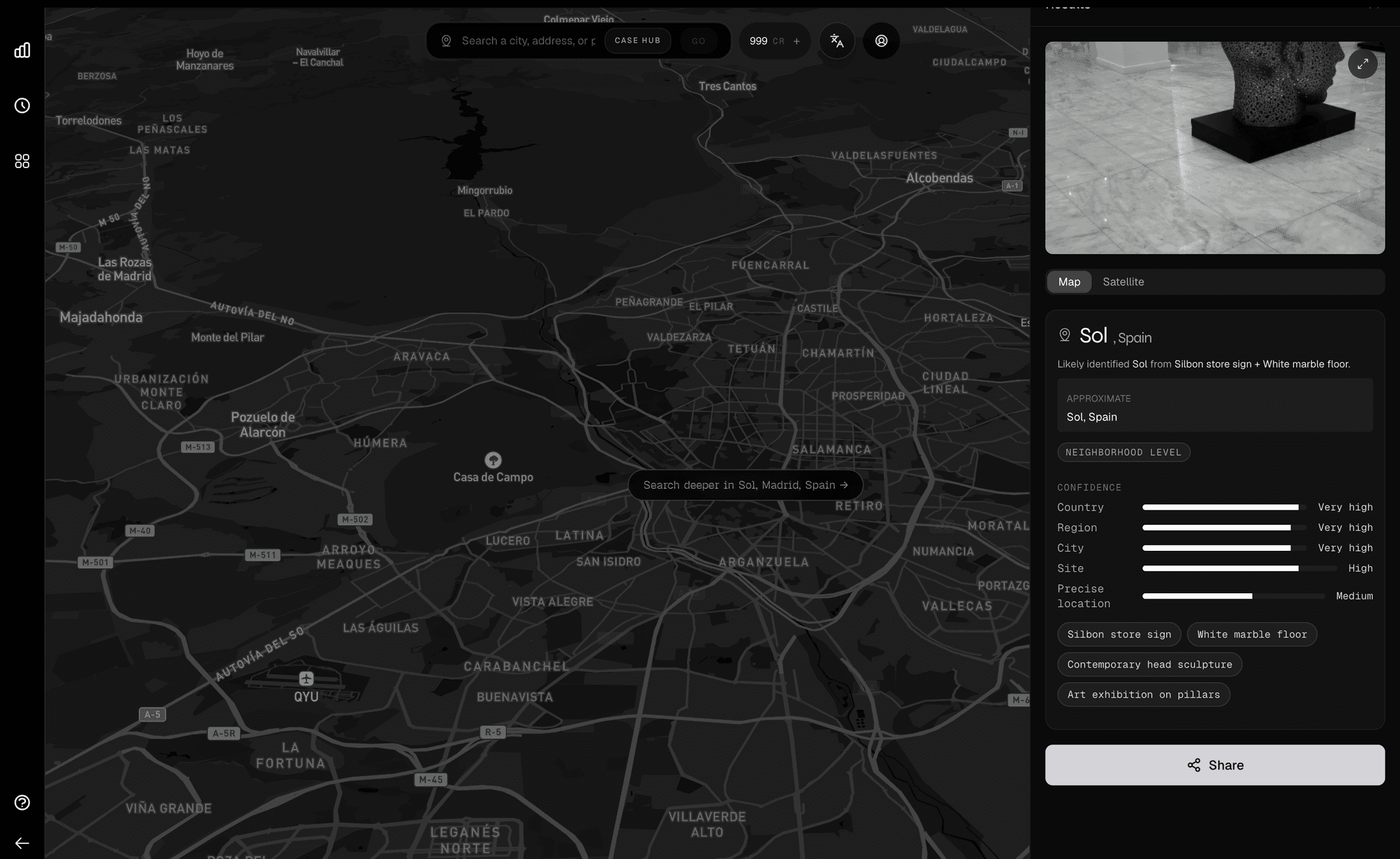
Orca 1.2 was a memorizer. It knew Miami perfectly. Orca 1.3 is a reasoner. It understands the underlying grammar of how cities are built.
We started Oceanir with a controversial thesis: general-purpose vision models are too broad to be useful for professional geo-estimation. They know "everything" a little bit, but nothing deeply. To get utility, you need specialization.
Proving the vertical
So we built Orca 1.2 exclusively for Miami. It was hyper-specialized. It knew the difference between a palm tree in Coral Gables and one in Wynwood. It was accurate, fast, and completely unscalable. It was proof that if you constrain the problem space, you can achieve superhuman accuracy.
Hitting the ceiling
The problem with Orca 1.2 was that it didn't actually "know" what a street was. It just knew what Miami's streets looked like. When we showed it a photo of Lisbon, it tried to map it to South Beach.
To go global, we couldn't just "add data." We had to fundamentally change the architecture. We needed a model that could separate style (architecture, vegetation, light) from structure (roads, buildings, sky).
"By learning the 'rules' of urban design, Orca 1.3 can identify a city it has barely seen, simply because the grammar matches a known pattern."
— Technical Memo, 2025
Learning the rules
Orca 1.3 is the result of this pivot. Instead of memorizing landmarks, it learns heuristics:
- Blue street signs often imply specific regions in France.
- Yellow curbs combined with double-yellow lines are distinct to certain Commonwealth nations.
- High-contrast shadows indicate latitudinal proximity to the equator.
This is the difference between memorization and intelligence.
Why these cities?
We didn't pick our new regions at random. We chose "adversarial" cities to stress-test the new model:
Global precision
Orca 1.3 achieves a significant lead in global precision by leveraging cross-continental training data that competitors lack.
Universal features
- Global patterning — Recognizes architectural and urban patterns across different regions worldwide.
- Multi-language OCR — Extracts text from images in multiple languages and writing systems.
- Universal solar — Uses sunlight and shadows to help determine location anywhere on Earth.
- Universal index — Cross-references against a massive database of global imagery.
- Global privacy — Automatically protects sensitive information like faces and plates.
- Cross-region logic — Distinguishes between visually similar locations across different regions.
Ready to go global?
Experience the next generation of visual evidence verification with Orca 1.3.