For a while, the obvious question after someone tried Oceanir was not how the model worked. It was simpler than that. "Do you have my city yet?"
That is what Orca is about. Not a giant philosophical reset. Not a new category label. Just a better answer to the places people actually wanted to use, at a much bigger scale.
Miami was first for a reason
Miami was hard enough to keep us honest. Harsh light, water, palms, dense neighborhoods, flat sprawl, weird transitions from block to block. If you could not get Miami right, you were probably fooling yourself everywhere else too.
But proving one city is not the same thing as feeling useful. The minute people saw the product working, they wanted to know what happened in New York, Chicago, London, Paris, Lisbon, Lagos, and a lot more than that. Fair question.
Orca is the answer: 102 cities. Not twelve. Not twenty. One hundred and two.
What Orca actually changes
City-native reads
Orca does a better job treating a city like a system. Street paint, curb color, rooflines, vegetation, block geometry, and shoreline cues now reinforce each other instead of showing up as disconnected hints.
Less Miami bias
Miami taught us a lot, but it also made earlier builds too eager to force unfamiliar places into a Miami-shaped answer. This release is much better at staying honest when the city language changes.
Cleaner confidence
When the image is strong, Orca gets to a useful city or neighborhood faster. When the image is thin, it is better at narrowing without pretending it knows more than it does.
102 cities
This is the first Orca release that feels like it can move at real scale. Same product, same instincts, 102 cities with their own visual language.
The names below are just a sample. The point is not that we added a few obvious metros. The point is that Orca stops feeling trapped in one market.
Why this matters
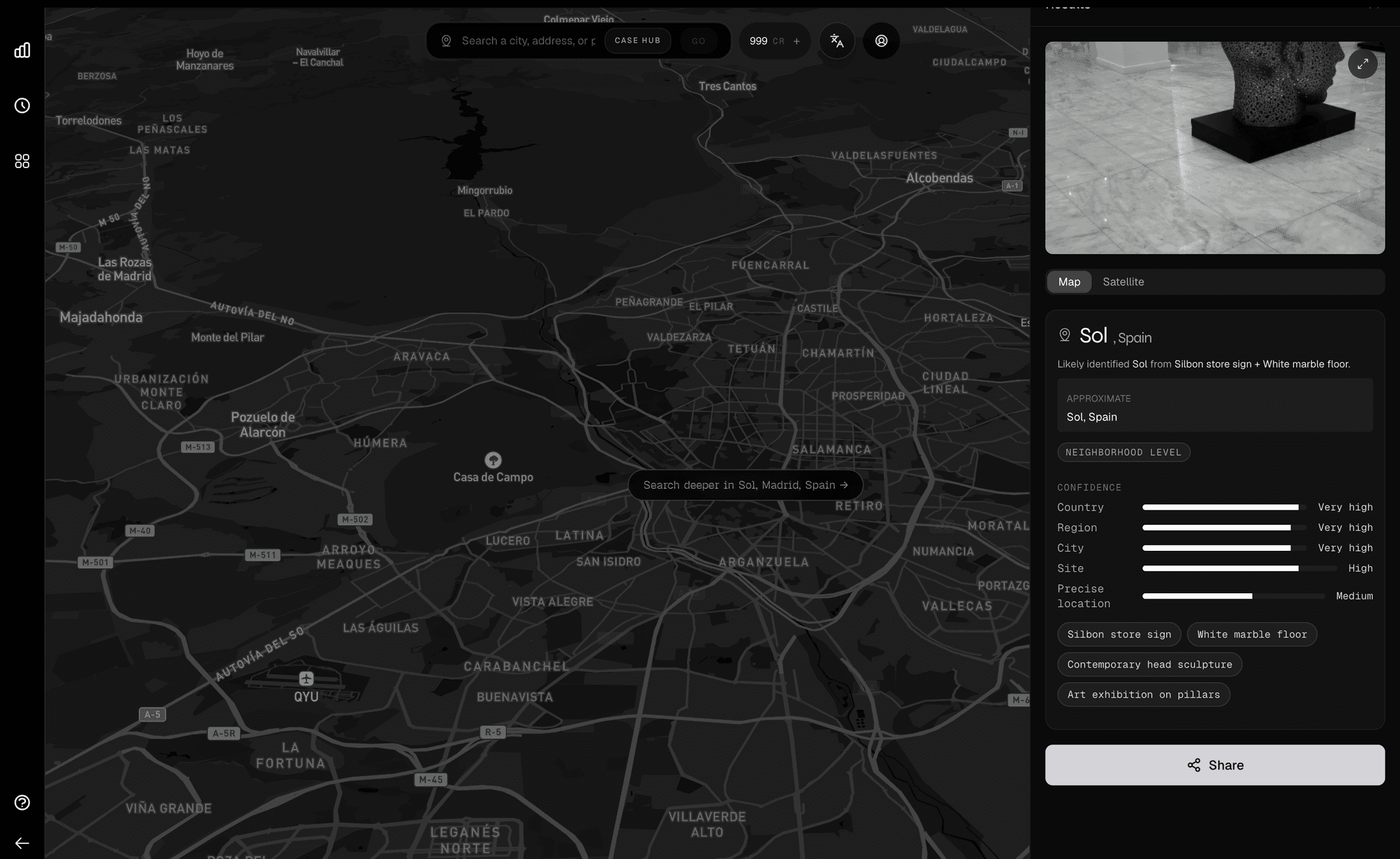
A geo-estimation product gets a lot more interesting when it stops feeling like a demo for one place. You upload an image from Madrid and the model should act like it has spent time in Madrid. Same for Atlanta. Same for Paris. Same for Lagos. Same across the other ninety-eight cities in the rollout.
That does not mean every image becomes easy. It means the model starts with the right priors. The street furniture, the road geometry, the built form, the foliage, the texture of the light. The basics matter.
The real test
The real test is not whether this post sounds good. It is whether you can open your city, drop in an image, and feel the model getting warmer faster.
If your favorite city is here, try it. If it misses, that is useful too. That is how Orca gets better.