Where
Location hypotheses
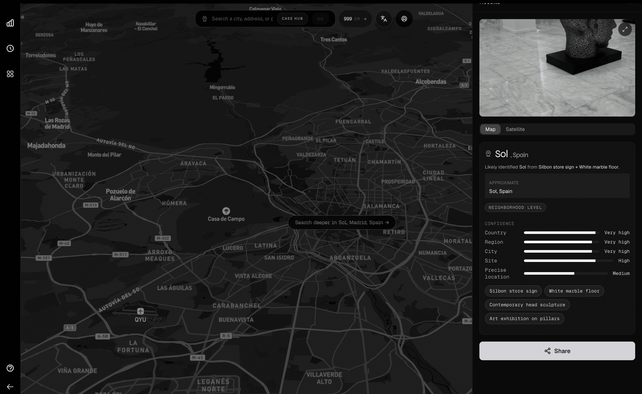
Turns weak visual evidence into ranked geographic candidates instead of generic scene descriptions.
How
Orientation and viewpoint
Reasons through camera bearing, solar position, street geometry, and environmental cues to explain perspective.
What
Physical context
Connects roads, rooflines, foliage, terrain, transit, and built-form patterns into a coherent spatial read.
Why
Decision-ready output
Packages evidence in a way operators can use for verification, routing, triage, or property search.
Orca 2.1 is not just another model release. It is the point where Oceanir starts treating geospatial reasoning as its own capability class. The right name for that class is Large Geospatial Model.
Geospy coined the term Large Geospatial Model. We are using it here because it is the clearest description of what Orca 2.1 is trying to become: not a general model that sometimes talks about place, but a model built around place as the native problem.
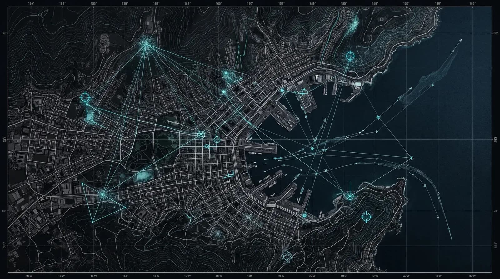
An LGM is to the physical world what an LLM is to language. The point is not broad narration. The point is to reason through where something is, how the camera is oriented, what evidence is weak, what evidence is strong, and which parts of the world still plausibly fit.
Why this is a new capability
Most systems in this category still feel like tooling around a model. You upload an image, get a guess, then do the rest of the work yourself. An LGM is a stronger claim. It says the model itself has been trained around spatial inference as the native job.
In practice that means Orca 2.1 is not just classifying scene labels or retrieving visually similar examples. It is weighing roads, rooflines, vegetation, transit clues, terrain, solar cues, and built-form patterns together to produce a location hypothesis that can be revised and defended.
LGM vs LLM
The distinction is simple: LLMs are built to understand and generate language. LGMs are built to understand and reason over the physical world.
What sits inside Orca 2.1
- OrcaEyes — a multi-scale encoder stack for scene-level, regional, local, semantic, and spatial signals.
- 48+ specialist modules — focused reasoning over architecture, vegetation, transit, weather, sky analysis, and road infrastructure.
- Reasoning fusion — a layer that scores evidence instead of flattening every clue into the same confidence.
- Distance-shaped training — optimization around geographic miss distance so the model gets better at narrowing the world, not just naming a bucket.
Stack Summary
Five encoder perspectives feed a shared reasoning core that ranks geospatial hypotheses, scores confidence, and improves against miss distance instead of stopping at a flat scene label.
"An LGM should explain why the world fits before it names where the world is."
— Oceanir internal framing, 2026
What this unlocks in Oceanir
Field investigations
Narrow an unknown photo into a smaller search area by combining street-level evidence with geographic priors.
Property-level search
Move from image clues to plausible parcels, blocks, or neighborhoods when exact metadata is missing.
Claims and compliance
Check whether the reported place fits the visible road surface, foliage, weather, and built environment.
Media verification
Assess whether a frame matches the claimed geography instead of relying on captions, narrative, or weak metadata.
Why Orca 2.1 is different from Orca 1.x
Orca 1.x improved product behavior release by release. Orca 2.1 is a stronger move underneath that surface. It is an attempt to build the model around geospatial reasoning from the start instead of treating location as an output bolted onto a more general vision stack.
That matters most in the hard cases: ordinary roads, generic buildings, ambiguous light, weak metadata, and sparse visual evidence. These are the moments where a capability framed as a Large Geospatial Model becomes more useful than a prettier classifier.
Try it
Drop an image into the app and see where Orca 2.1 lands.