Oceanir
  • Pricing
SalesStart free
Solutions/OSINT Image Verification
[ 01 ]

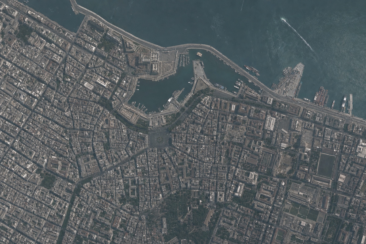
An image surfaces online with no caption and no location. Where was it actually taken?
OSINT / Research

OSINT Image Verification

Geolocate and verify images from open sources, fast.

Oceanir tells you where an image was likely captured from the scene alone, so analysts can confirm or debunk a location without relying on metadata.

Buy package
OSINT Image Verification

Phase 1

01:   The Problem
Open-source images arrive with no reliable metadata. Captions lie, EXIF is stripped, and manual chip-by-chip geolocation eats hours per image. Analysts need a defensible location read they can corroborate, not a hunch.
SecondsTo a candidate location
No EXIFScene-only analysis
Clues shownEvidence you can verify
OSINT Image Verification
01:Analysis
02:Workflow
03:Evidence

Phase 2

02:   How It Works
01Upload the image or a frame from a video.
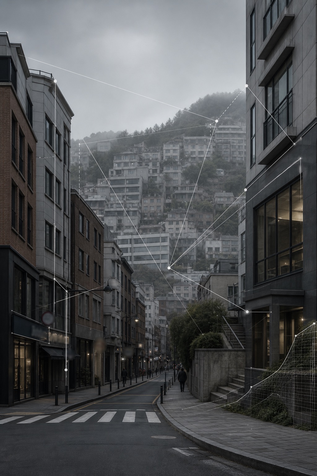
02Oceanir surfaces the visual clues it used: signage, terrain, architecture, plates, and vegetation.
03Candidate locations come back with a reality check against street-level ground truth.
04Corroborate the read against your own sources before you report or publish.
Buy package
Workflow

Phase 3

03:   Where It Is Used
Location confirmation
Confirm or debunk a claimed location from the image itself.
Lead generation
Turn an unlabeled photo into candidate coordinates to investigate.
Contradiction checks
Surface visual clues that contradict the stated story.
OSINT analystsResearchersTrust and safety
Use cases

Geolocate open-source images in seconds

Stop spending hours per image. Upload, read the clues, corroborate, and move on.

Buy package
Verify First
Then Decide

Why Oceanir

Oceanir shows its work. You get the visible clues behind a location read and a reality check against street-level ground truth, so the result is something you can corroborate and defend rather than a black-box label.

FAQ

Buy package

Yes. Oceanir reads the visible content of the image, not EXIF or GPS, so stripped, cropped, and screenshotted images are all in scope.

Yes. Each read surfaces the visual clues it relied on, so you can verify the reasoning against your own sources instead of trusting a label.

A reality check against street-level ground truth gates confidence. When the scene cannot be confirmed, Oceanir lowers its confidence rather than overstating it.

01platform
  • Pricing
  • Geoestimation
  • How It Works
02resources
  • Blog
  • Documentation
  • Contact
03company
  • About Us
  • Security
04legal
  • Terms
  • Privacy
  • Product Boundaries
  • SaaS Agreement
  • Cookies

Notes from the verification desk. What we're learning about reading places from pixels. Occasional, no noise.

Try it on one image

Upload a photo. Watch it come back as a place.

Run a free analysis →Talk to us →
oceanir
© 2026 Oceanir, Inc. All rights reserved.
PrivacyTerms