Oceanir
  • Pricing
SalesStart free
Blog/Announcements
Announcements

What We Expect Going Forward

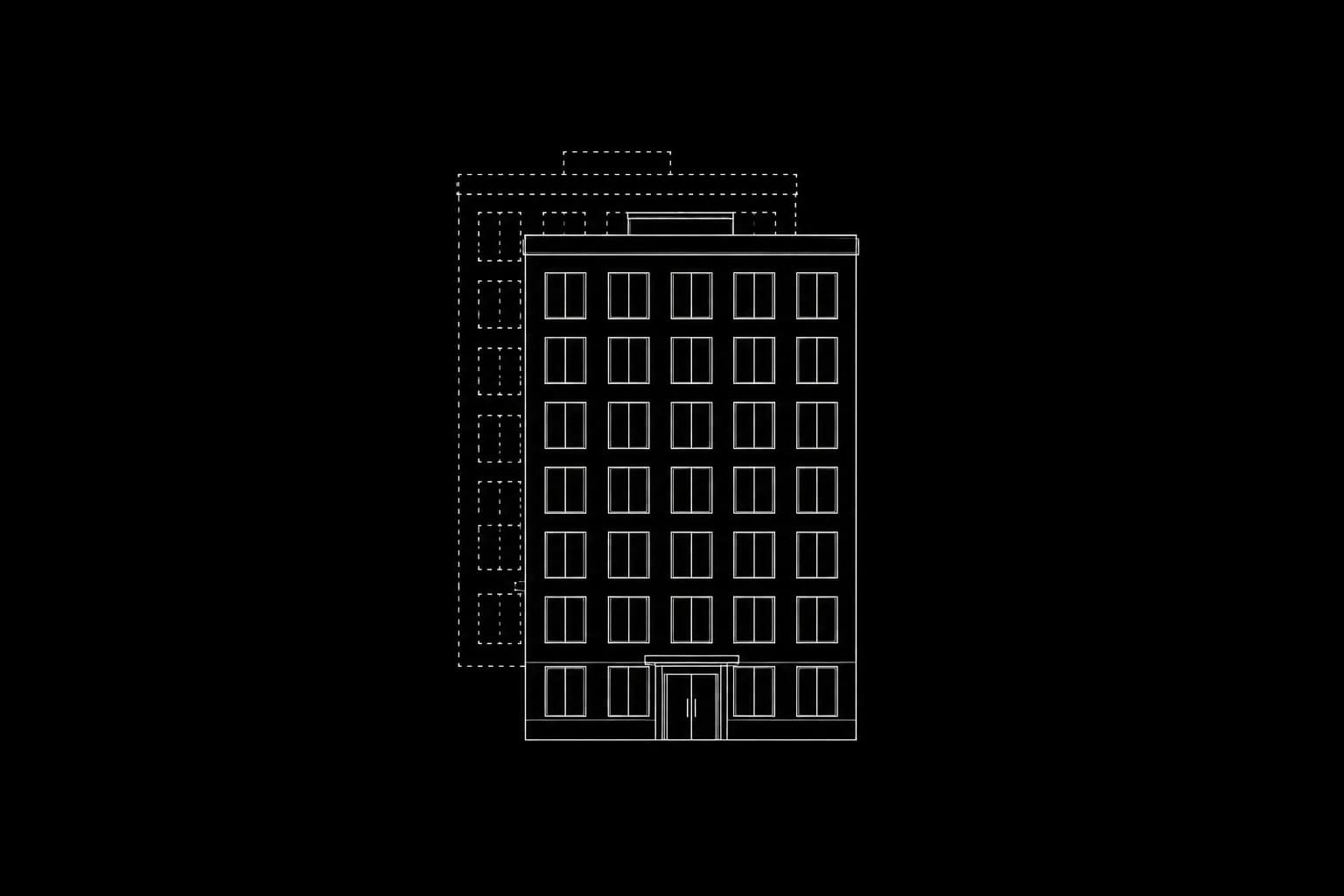
Strategic Vision. Expanding beyond our initial markets and refining the core reasoning engine.

Oceanir Team·Oct 22, 2025·6 min read
XGitHub
What We Expect Going Forward

We shipped something that works. People are using it. But we're not done — we're just getting started. This is an honest look at where we're headed and what it'll take to get there.

Foundation laid

Orca started in Miami. Dense urban environment, messy street-level reality, enough complexity to stress-test everything. It worked. The benchmarks validated our approach, and more importantly, people found it useful.

Now we've expanded into Europe. Multiple metros, different architectural styles, new visual vocabularies. The model is learning to generalize without forgetting what it already knows.

Strategic priorities

ExpansionWidening the map. More European metros, Asian cities, and strategic coverage in Latin America.
ReasoningMaking model explanations feel more natural — closer to how a human geoguesser thinks.
AccessClean APIs, good documentation, and simple demos. No PhD required to integrate.
SpeedReducing inference latency to sub-second response times for real-time video analysis.

The hard parts

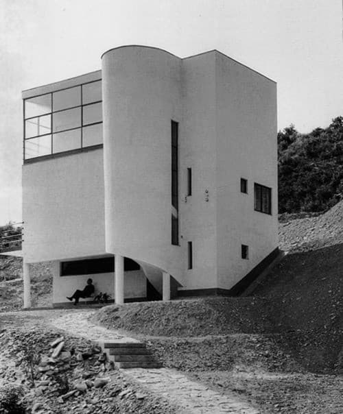
Expansion isn't just adding more training data. Every new city introduces new edge cases, new architectural styles, and new ways that visual cues can mislead the model. Tokyo alleys don't look like Paris boulevards. Both need to work.

"The future isn't predetermined. It's shaped by the people who show up and do the work."

Core philosophy

We believe geo-estimation tools shouldn't be locked away behind expensive software and niche expertise. It should be accessible to anyone with an image and a question. That's why we're building this in the open.

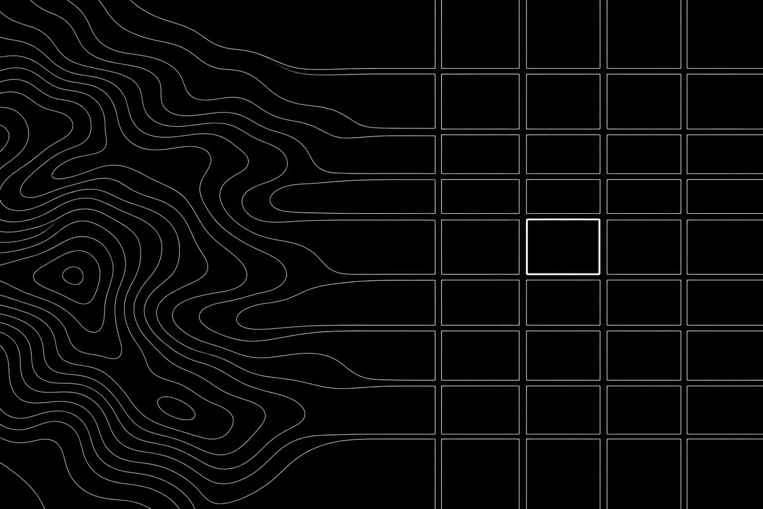
Track our progress

See the latest active regions on our global grid.

View Coverage

Related posts

View all
Why Privacy Matters in AI Geolocation Tools
announcements

Why Privacy Matters in AI Geolocation Tools

What the privacy architecture should look like when journalists, GSOC teams, and investigators upload non-public source material. 100m coordinate rounding, AES-256-GCM per-user encryption, 30-day auto-cleanup, no bulk export.

Update 1.40 Competition, and more.
updates

Update 1.40 Competition, and more.

Newest platform updates: expanded solutions, clearer vertical solution pages, and improved docs for faster onboarding and deployment.

Update 1.30: New Pricing, New Settings
updates

Update 1.30: New Pricing, New Settings

We're introducing subscription billing alongside credits, a completely redesigned settings experience, and persistent analysis history across all cities.

01platform
  • Pricing
  • Geoestimation
  • How It Works
02resources
  • Blog
  • Documentation
  • Contact
03company
  • About Us
  • Security
04legal
  • Terms
  • Privacy
  • DPA
  • Product Boundaries
  • SaaS Agreement
  • Cookies

Notes from the verification desk. What we're learning about reading places from pixels. Occasional, no noise.

Try it on one image

Upload a photo. Watch it come back as a place.

Run a free analysis →Talk to us →
oceanir
© 2026 Oceanir, LLC. All rights reserved.
PrivacyTerms