Today we're releasing Orca 1.4 — a focused update that introduces better property-level insight to Oceanir. Where previous versions told you where something is, Orca 1.4 starts to tell you what's there and why it matters for decision-making.
Orca 1.4 is live with Miami only. We narrowed scope after lessons from Orca 1.0 through 1.3 and additional evaluation data.
Orca 1.3 gave us the infrastructure to scale. With that foundation in place, Orca 1.4 focuses on the insight layer — understanding not just coordinates, but the built environment around them. What kind of property is this? What's the surrounding area like? Is this a commercial corridor or a residential street?
"Knowing where something is was always just the first step. The real value is understanding what's there and what you can do with that information."
— Internal product review, 2026
Better insight for smarter decisions
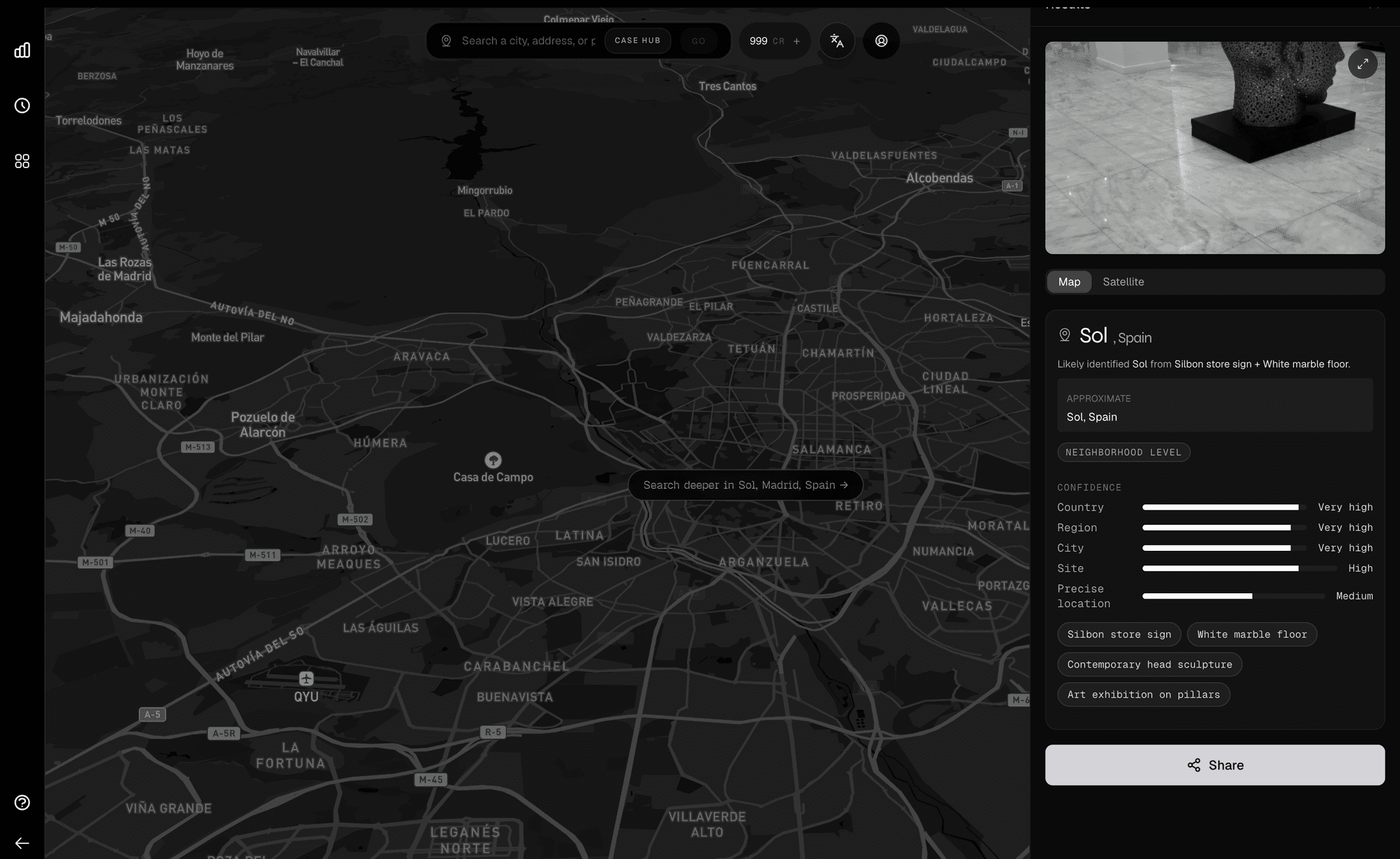
The core addition in Orca 1.4 is a property context layer. Every analysis now returns richer information about the built environment — building types, land use patterns, commercial density, and neighborhood character.
Image → Analysis → Coordinates → Done
Image → Analysis → Coordinates + Property Type + Area Context + Property Signals → Decision-Ready Output
- Property context — understands the built environment around a location, including building type, density, and land use patterns.
- Selection precision — identify properties by characteristics that matter: commercial districts, residential zones, mixed-use corridors, industrial areas.
- Neighborhood intelligence — every prediction includes richer context about the surrounding area, what kind of neighborhood it is, and how the area is developing.
- Confidence scoring — better-calibrated confidence scores across all environment types.
Internal evaluations
We evaluate Orca models on internal benchmark suites that test across different capabilities, built environment types, and ambiguity levels. The tables below show relative scores and are intended to show directional improvements across capability groups.
Capability Gains
Environment Performance (relative improvement over 1.3)
Context Impact
Why context changes everything
The practical difference between Orca 1.3 and Orca 1.4 is most visible in ambiguous scenarios. When a street photo could describe multiple types of properties, basic analysis can only give you coordinates. With property insight, you get the surrounding context that makes those coordinates useful.
The context layer is particularly effective in dense urban environments. Street-level features might not distinguish a residential block from a commercial one, but understanding the surrounding area — signage patterns, building materials, neighboring land use — almost always can.
Miami-first rollout
Orca 1.4 is live with Miami only. This is an intentional Miami-first rollout while we harden the new architecture and continue quality tuning before broader expansion.
We are expanding city-by-city again once benchmarks, calibration, and consistency meet our current quality bar.
Privacy architecture unchanged
The changes in Orca 1.4 are internal to how the model works. Our privacy guarantees remain the same.
- Per-user encryption on stored coordinates — AES-256-GCM with per-user keys for location records. Images and analysis records rely on infrastructure-level disk encryption.
- No training on user data — our inference provider does not train on API request data.
- User-controlled deletion — delete individual entries or your entire history at any time from settings.
Experience Orca 1.4
Orca 1.4 is currently available in Miami only. Upload an image and see the property insight for yourself.