تحقق من موقع التقاط أي صورة.
حتى بدون GPS أو بيانات وصفية. مصمم لفرق المطالبات والصحفيين والمراجعين القانونيين والمؤسسات التي تحتاج إلى مراجعة موثقة للادعاءات المتعلقة بالموقع.
Verification technology that actually works.
Nearly a decade in the making, our proprietary advances in computer vision and geographic modeling turn raw pixels into a powerful solution for location verification.
We've developed novel embedding spaces, spatial clustering algorithms, and reasoning engines to ensure our technology overcomes historical limitations of the geolocation category. Oceanir matches the promise of AI performance with rigorous accountability.
Built to see carefully.
Read our manifesto to see how we define depth-3 geolocation: rigorous, auditable, and accountable.
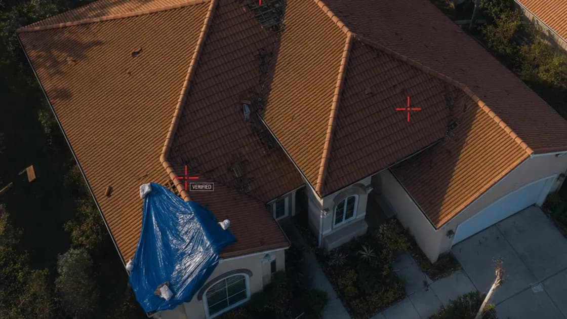
Every pixel carries a clue.
Oceanir reads visible scene details, identifies signals, and returns evidence-backed location checks — no metadata required. The Orca model decomposes the frame into vegetation, architecture, road surface, sky gradient, and signage, then ranks defensible location candidates from those signals.
Three depth levels scale the analysis. D1 reads the environment — road markings, signage, building styles — to return a region. D2 adds extended visual references and a second-pass cross-check for local precision. D3 runs full visual matching with keypoint verification for property-level workflows where that precision is requested. Every depth produces ranked candidates with confidence scores, not a single black-box pin.
What would take hours of manual review returns as structured evidence in seconds. Fragments in. Evidence out.
Orca · Direct Inference
Visual Signal Alignment
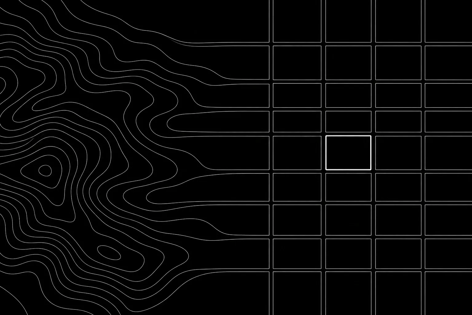
Embedding Spaces · Spatial Clustering
حدود المنتج
يتحقق Oceanir من الأدلة المرئية المتعلقة بالأماكن والعقارات والمركبات والادعاءات المتعلقة بالموقع. وهو ليس منتجًا للبحث عن الأشخاص أو مطابقة الهوية أو تتبع الأفراد.
لا مطابقة للهوية
لا يوفر Oceanir التعرف على الوجوه أو تحديد الهوية البيومترية أو مطابقة الأشخاص أو تحديد الهوية أو البحث عن الأشخاص أو التنميط السلوكي أو أدوات مصممة لتحديد مواقع الأفراد أو تتبعهم.
أدلة للمراجعة البشرية
يعيد Oceanir مواقع مرشحة مرتبة، وإشارات مرئية من المشهد، ودرجات ثقة، وسياقًا جاهزًا للتقرير، بحيث يمكن للمراجعين توثيق الحكم النهائي.