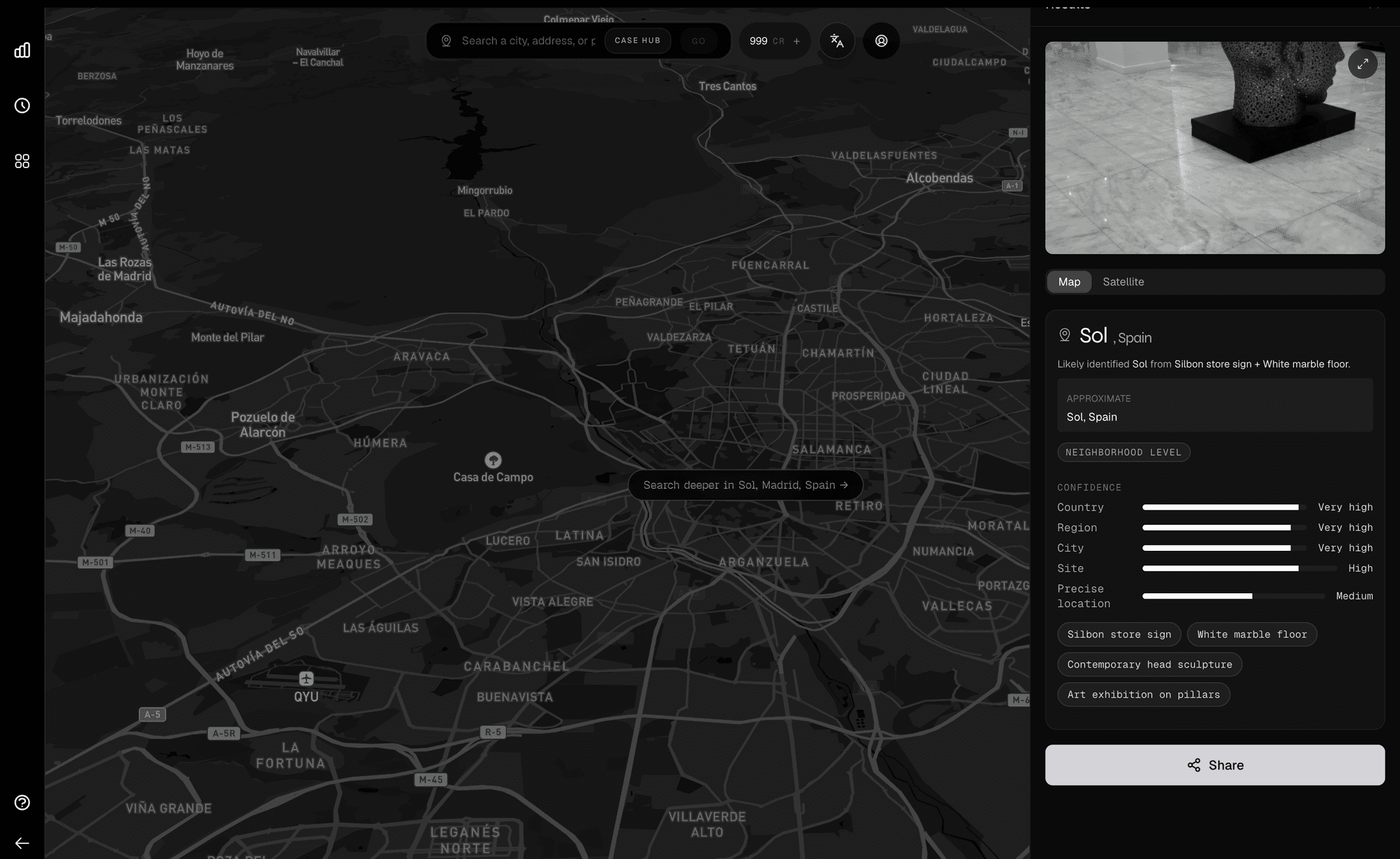
Before expanding globally, we needed to prove that we could solve a single city completely. Orca 1.2 is a dedicated fine-tune for the Greater Miami area — our proof that hyper-local precision is achievable.
Depth before breadth
Generic vision models know "everything" a little bit, but nothing deeply. They hallucinate neighborhoods, confuse districts, and fail on edge cases. Our thesis: to get utility, you need specialization.
By overfitting intentionally to Miami's unique visual signature — its specific Art Deco typography, tropical vegetation patterns, and high-contrast lighting — we achieve a level of reliability that generic models cannot match.
"It can tell the difference between a palm tree in Wynwood and a palm tree in Coral Gables. That is the level of granularity we are targeting."
Regional mastery
By restricting the domain to Miami, Orca 1.2 eliminates hallucinations common in global models, delivering near-perfect neighborhood classification.
Miami-core features
- Sub-district logic — Distinguishes between visually similar Miami neighborhoods like Brickell and Edgewater.
- Tropical foliage — Trained on 40+ species of local palms and vegetation patterns.
- Coastal context — Understands water proximity, causeways, and coastal lighting conditions.
- Typography V2 — Tuned for Art Deco signage and local Miami street sign fonts.
- Privacy core — Standard blurring for faces and plates, running entirely locally.
- Glare handling — Handles high-contrast tropical sunlight and reflective surfaces.
The path forward
Orca 1.2 is proof of concept. Now that we've demonstrated what's possible with focused regional training, we're applying these learnings to build Orca 1.3 — a model that reasons about location rather than memorizing it, enabling expansion to 15+ metropolitan centers worldwide.
Test the Miami model
Experience hyper-local precision with our Miami regional demo.