Oceanir
  • Pricing
Book a demoStart free
March 20, 2026·Product·Models

Orca 1.5, a "Large Geospatial Model"

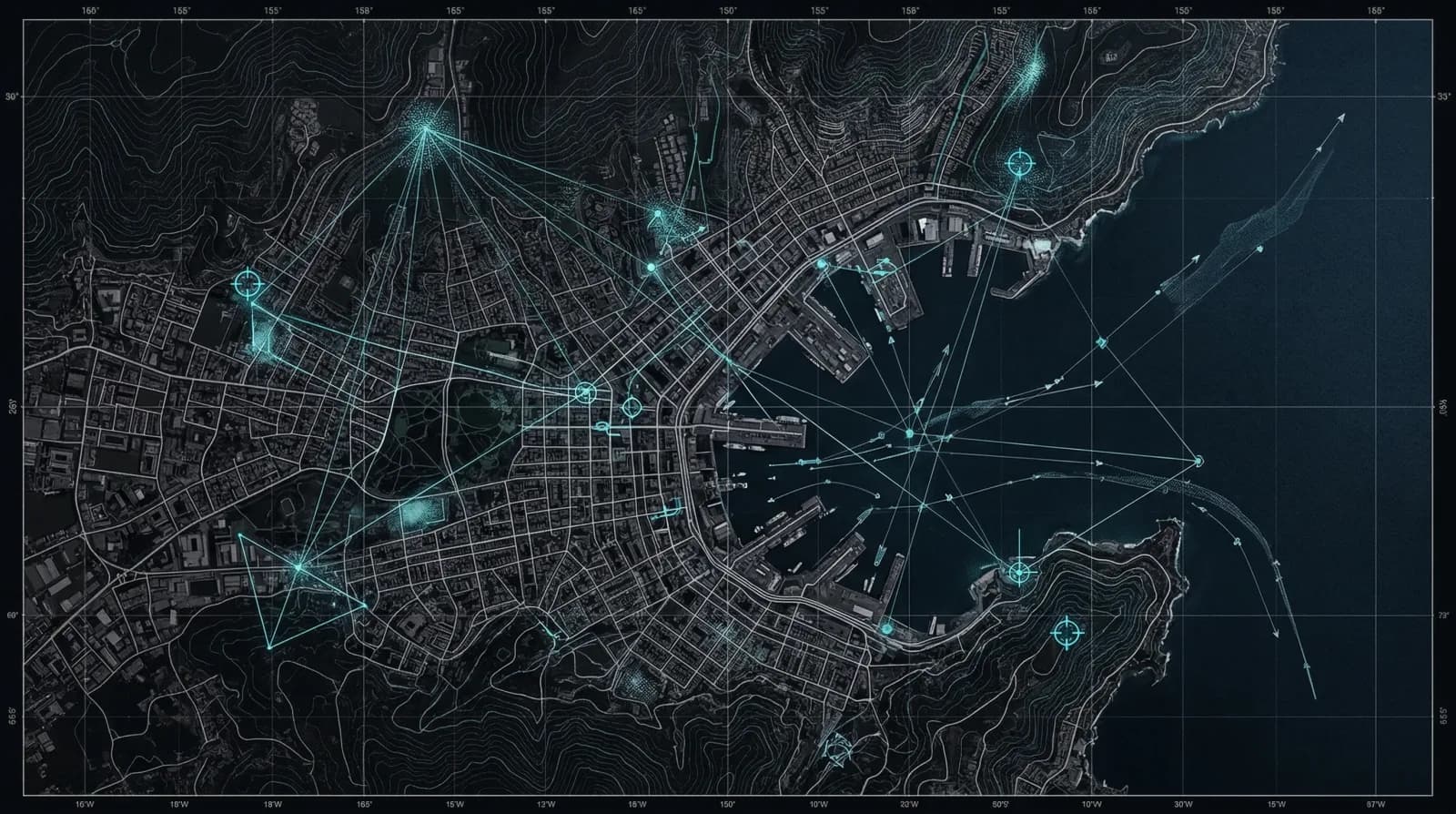
Geospy coined the term Large Geospatial Model. Orca 1.5 is Oceanir's version of the idea: a model that works out where something is, which way the camera was pointing, and what is around it.

Oceanir Team
Orca 1.5, a "Large Geospatial Model"

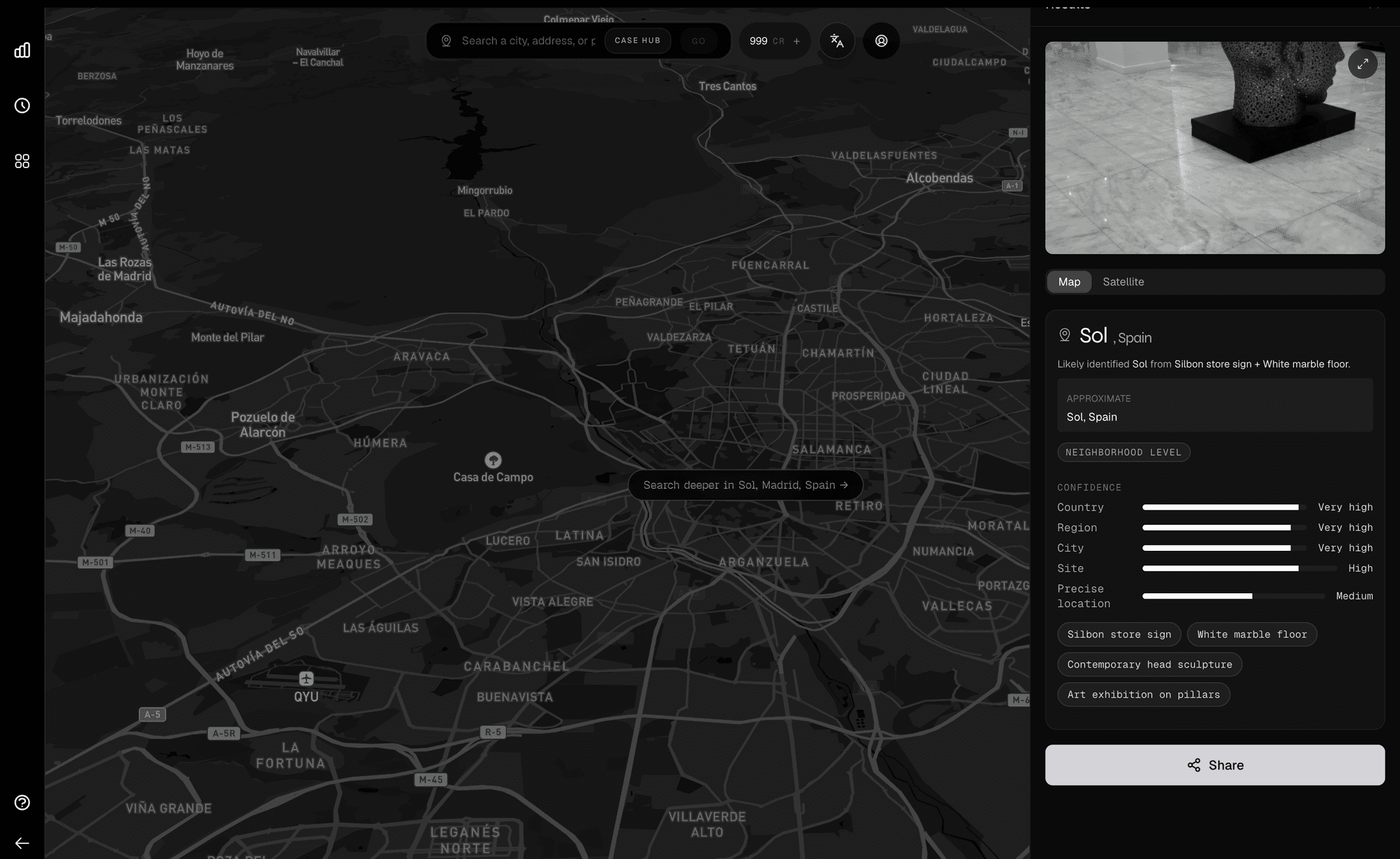
Most AI is good at telling you what a photo shows. A person, a car, a dog. Orca 1.5 is aimed at a different question: where was this taken, and how sure are we?

Geospy gave this kind of model a name: the Large Geospatial Model, or LGM.[3] We are borrowing the term because it fits. An LLM reasons over language. An LGM reasons over place.

The category

A language model reads the world. A geospatial model locates it.

AxisLLMLGM
InputText: documents, prompts, conversationImages, plus the physical cues inside them
Main jobUnderstand and produce languageWork out where something is and what is around it
Grounded inWhat people have written downGeometry, terrain, weather, and how things are built
Answers"What is this about?""Where is this, and how sure are we?"

The two are complements, not competitors. Most verification work ends up needing both.

Why this is a different kind of model

A lot of geolocation tools are a general model with a search box on top. You upload a photo, get a guess, and do the rest yourself. An LGM starts from the other end. The location question is the whole point, not a side effect.

That is not a fringe idea anymore. In 2024 a research model called PIGEON beat one of the best professional Geoguessr players across six straight matches, from nothing but the pixels.[1] The skill of reading a place from a photo, which used to take a person years to learn, now fits in a model. Orca 1.5 is our attempt to make that useful, not just impressive.

What sits inside Orca 1.5

Under the hood it is a few specialised parts working together, each doing one job well.

Component
What it does
OrcaEyes
Reads the scene at several scales at once, from the whole skyline down to a single roofline.
Specialist modules
Separate passes for architecture, plants, transit, weather, sky, and roads, so each kind of clue is read properly.
Reasoning fusion
Weighs the clues against each other instead of treating a license plate and a cloud as equally useful.
Distance training
Learns from how far off each guess was, so it gets better at narrowing the map rather than naming a region.

The net effect is a model that reasons about a place the way an analyst would: gather the clues, weigh the strong ones over the weak ones, and say how confident the answer is.

An LGM should explain why the world fits before it names where the world is.
— Oceanir internal framing, 2026

What this unlocks in Oceanir

The same core skill shows up across a few different jobs.

Field investigations

Take a photo with no obvious landmark and narrow it to a smaller area worth searching.

Property search

Get from the clues in an image to a shortlist of plausible blocks or neighborhoods.

Claims and compliance

Check whether the reported place fits the road, the plants, and the weather in the photo.

Media verification

Test a frame against its claimed location instead of trusting the caption.

How Orca 1.5 differs from Orca 1.x

Orca 1.x got better release by release, mostly around the edges. Orca 1.5 is a change underneath. It is built around spatial reasoning from the start, instead of treating location as an extra output on top of a general vision stack.

You notice it most in the hard cases: an ordinary road, a generic building, flat light, no metadata. That is where treating location as the main job, rather than an afterthought, pays off.[2]

Orca 1.5 vs the field

Visual geolocation accuracy on four independent datasets. Standard Im2GPS thresholds. All models evaluated on the same images — no cherry-picking. The benchmark code is open source and fully reproducible.

Im2GPS3k

n=2,123 scored of 2,997 · D2 · 2026-05-31

Model1 km25 km200 km750 km2500 km
Orca 1.5Oceanir32.2%64.3%75.7%86.1%93.3%
REVERSEPaper22.5%48.3%59.3%73.5%84.8%
Geo-RPaper18.1%41.5%58.3%75.3%86.4%
GAEA-7BWACV'268.4%36.9%56.0%73.2%85.6%
GeoCLIPNeurIPS'2314.1%34.5%50.6%69.7%83.8%
GeoVistaAgentic—————
GeoAgentCVPR'26—————
See all four datasets →

Try it

Drop an image into the app and see where Orca 1.5 lands.

Open App →

References

3references — tap ↵ to jump back to the passage that cites them.

  1. [1]

    Lukas Haas, Michal Skreta, Silas Alberti, Chelsea Finn. PIGEON: Predicting Image Geolocations ↗. CVPR 2024. ↵

    Places over 40% of Geoguessr guesses within 25 km of the target and beat one of the world's top professional players across six matches. The clearest published evidence that a model can out-locate a skilled human.

  2. [2]

    Wikipedia. Spatial analysis ↗. Wikipedia. ↵

    The umbrella term for working out where things are from their geographic and geometric properties, long before AI was involved.

  3. [3]

    Graylark Technologies. LGM vs LLM. GeoSpy blog. ↵

    Where the term Large Geospatial Model comes from. We use it because it is the clearest name for the category.

Keep reading

View all

Introducing Desktop, the world's first visual intelligence workspace

product · May 28, 2026

The Complete Image Geolocation Workflow: From Metadata to Map Verification

product · May 26, 2026

Orca, to your favorite cities.

product · Mar 21, 2026

Newsletter

Get product updates and geolocation insights

New cities, model releases, and what we're learning from reading places. Occasional, no noise.

01Product
  • Geo Estimate
  • How It Works
02Explore
  • Coverage
  • Blog
03Resources
  • Documentation
  • Pricing
  • Contact
04Company
  • About Us
  • Security
  • DPA
  • Product Boundaries
  • SaaS Agreement
Notes from the field

What we're learning about reading places from pixels. Occasional, useful, no noise.

Try it on one image

Upload a photo. Watch it come back as a place.

Run a free analysisOne image · no setup→
© 2026 Oceanir, LLC. All rights reserved.
PrivacyTermsCookies