Verifica cualquier imagen. Lista para tribunal en segundos.
Incluso sin GPS ni metadatos. Creado para equipos de siniestros, periodistas, revisores legales y organizaciones que necesitan documentar la revisión de afirmaciones sobre ubicaciones.
Verification technology that actually works.
Nearly a decade in the making, our proprietary advances in computer vision and geographic modeling turn raw pixels into a powerful solution for location verification.
We've developed novel embedding spaces, spatial clustering algorithms, and reasoning engines to ensure our technology overcomes historical limitations of the geolocation category. Oceanir matches the promise of AI performance with rigorous accountability.
Built to see carefully.
Read our manifesto to see how we define depth-3 geolocation: rigorous, auditable, and accountable.
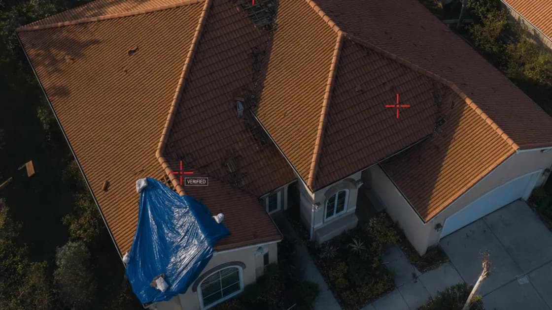
Every pixel carries a clue.
Oceanir reads visible scene details, identifies signals, and returns evidence-backed location checks — no metadata required. The Orca model decomposes the frame into vegetation, architecture, road surface, sky gradient, and signage, then ranks defensible location candidates from those signals.
Three depth levels scale the analysis. D1 reads the environment — road markings, signage, building styles — to return a region. D2 adds extended visual references and a second-pass cross-check for local precision. D3 runs full visual matching with keypoint verification for property-level workflows where that precision is requested. Every depth produces ranked candidates with confidence scores, not a single black-box pin.
What would take hours of manual review returns as structured evidence in seconds. Fragments in. Evidence out.
Orca · Direct Inference
Visual Signal Alignment
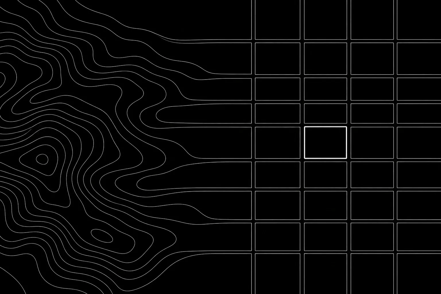
Embedding Spaces · Spatial Clustering
Límites del producto
Oceanir verifica evidencia visual relacionada con lugares, propiedades, vehículos y afirmaciones sobre ubicaciones. No es un producto de búsqueda de personas, de coincidencia de identidad ni de rastreo de particulares.
Sin coincidencia de identidad
Oceanir no ofrece reconocimiento facial, identificación biométrica, coincidencia de personas, resolución de identidad, búsqueda de personas, perfilado conductual ni herramientas diseñadas para localizar o rastrear a particulares.
Evidencia para revisión humana
Oceanir devuelve ubicaciones candidatas ordenadas, pistas visibles de la escena, puntuaciones de confianza y contexto listo para el informe, para que los revisores documenten el juicio final.