Перевірте будь-яке зображення. Готове до суду за секунди.
Навіть без GPS чи метаданих. Створено для команд зі страхових виплат, журналістів, юридичних рецензентів та організацій, яким потрібна задокументована перевірка тверджень про місце зйомки.
Verification technology that actually works.
Nearly a decade in the making, our proprietary advances in computer vision and geographic modeling turn raw pixels into a powerful solution for location verification.
We've developed novel embedding spaces, spatial clustering algorithms, and reasoning engines to ensure our technology overcomes historical limitations of the geolocation category. Oceanir matches the promise of AI performance with rigorous accountability.
Built to see carefully.
Read our manifesto to see how we define depth-3 geolocation: rigorous, auditable, and accountable.
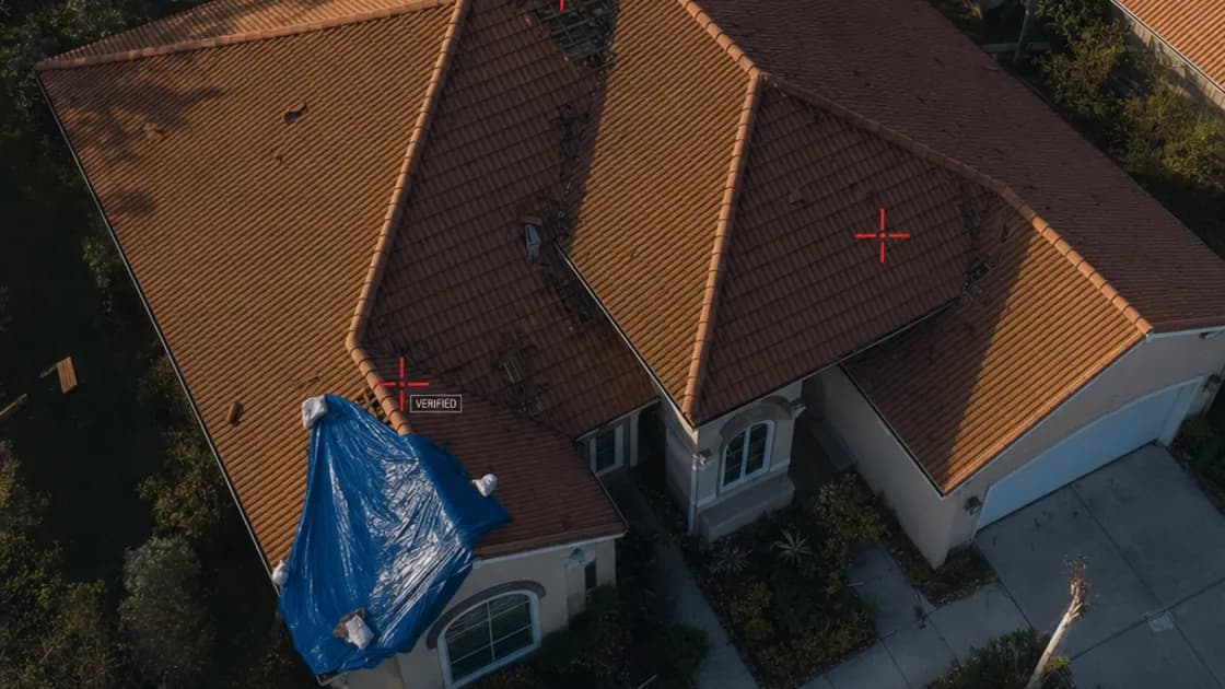
Every pixel carries a clue.
Oceanir reads visible scene details, identifies signals, and returns evidence-backed location checks — no metadata required. The Orca model decomposes the frame into vegetation, architecture, road surface, sky gradient, and signage, then ranks defensible location candidates from those signals.
Three depth levels scale the analysis. D1 reads the environment — road markings, signage, building styles — to return a region. D2 adds extended visual references and a second-pass cross-check for local precision. D3 runs full visual matching with keypoint verification for property-level workflows where that precision is requested. Every depth produces ranked candidates with confidence scores, not a single black-box pin.
What would take hours of manual review returns as structured evidence in seconds. Fragments in. Evidence out.
Orca · Direct Inference
Visual Signal Alignment
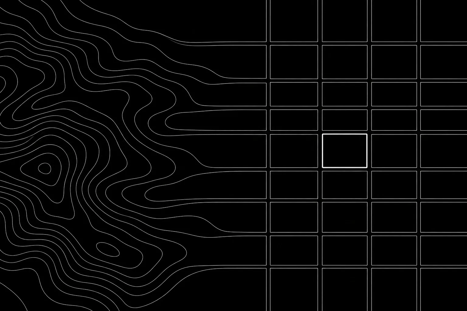
Embedding Spaces · Spatial Clustering
Межі продукту
Oceanir перевіряє візуальні докази, що стосуються місць, нерухомості, транспортних засобів і тверджень про місцезнаходження. Це не продукт для пошуку людей, зіставлення особи чи стеження за приватними особами.
Без зіставлення особи
Oceanir не надає розпізнавання облич, біометричної ідентифікації, зіставлення людей, встановлення особи, пошуку людей, поведінкового профілювання чи інструментів, призначених для визначення місця перебування або стеження за приватними особами.
Докази для перевірки людиною
Oceanir повертає впорядковані за рейтингом варіанти місць, видимі деталі сцени, показники впевненості та готовий для звіту контекст, щоб рецензенти могли задокументувати остаточний висновок.