Announcements
Company announcements, milestones, and future roadmap updates.

Introducing Manta
A visual evidence model for work that gets questioned. It establishes where a photograph was taken, resolves it to the street or building, and is bound by the evidence it shows.
Introducing Ground
Manta's street-level mode. It takes a photograph from a rough region to the specific block, building or address, and says so when the evidence does not reach that far.
Verify, Manta’s visual matching workflow
Find listing candidates for an interior photo, compare the images, and inspect the visual evidence in Manta Workspace.

Changes coming to Oceanir
Manta, Orca 1.6, a new analysis experience, and the boundaries we are setting as visual geolocation becomes more capable.
The path to M1
One visual intelligence model, doing three jobs. What M1 changes, what it does not, and how access will be granted.
Safety Guidelines for Geolocation Models
A geolocation model should help verify a place, not identify, find, or follow a person. These are the product and technical boundaries that keep it on that side of the line.
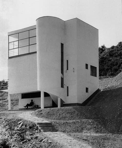
Why Privacy Matters in AI Geolocation Tools
What the privacy architecture should look like when journalists, GSOC teams, and investigators upload non-public source material. 100m coordinate rounding, AES-256-GCM per-user encryption, 30-day auto-cleanup, no bulk export.
What We Expect Going Forward
Our vision for the future of image geo-estimation and how Oceanir will continue to push boundaries in location-based intelligence.