Product
Product announcements, new features, and model releases for Oceanir.
Does your analysis feel inaccurate? We have an explanation.
Part of it is the photo. Part of it was us: we held the consumer model back on purpose to keep it from being used against people. Why we did it, why it was the wrong trade, and what changes next.
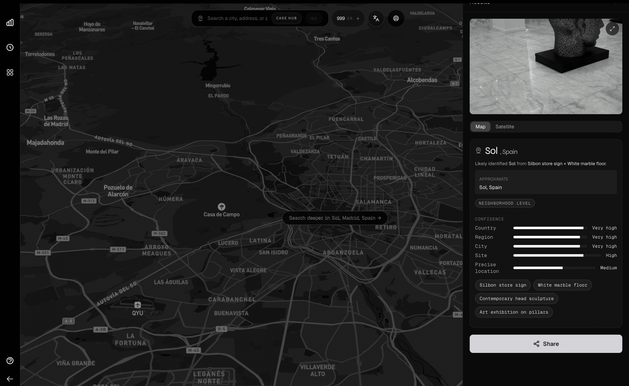
Introducing Desktop: the workflow around the prediction
The value was never just the prediction. It is the workflow around the prediction. Oceanir Desktop is where that workflow finally has a home.

The Complete Image Geolocation Workflow: From Metadata to Map Verification
The full chain analysts run to geolocate an image: EXIF check, visual anchors, reverse image search, AI estimation, and map verification, ending in a documented confidence trail.
Orca, to your favorite cities.
102-city coverage, more city-native reads, and sharper confidence in the places people actually asked us for.
Orca 1.5, a "Large Geospatial Model"
Geospy coined the term Large Geospatial Model. Orca 1.5 is Oceanir's take on that category: a system built to reason over location, orientation, and physical context from imagery.

How to Geolocate a Photo Without EXIF Data
Metadata survives a social platform inconsistently, and you cannot tell from the file which happened. Here is the workflow that works on photos that have already lost theirs, plus where Oceanir compresses the chain from hours to twelve minutes.
Orca 1.4.1 - A needed update.
A focused Orca release that tightens confidence, cleans up weak property reads, and makes Miami outputs more stable where 1.4 still felt rough.
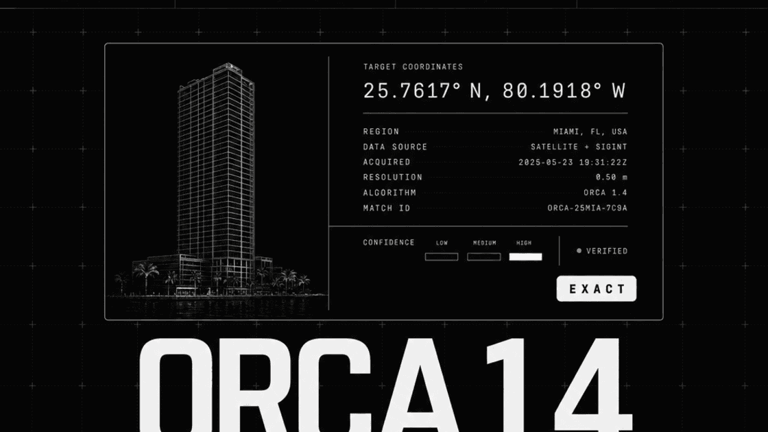
Orca 1.4
Introducing better property-level insight for better verification. Orca 1.4 understands not just where something is, but what's around it and why it matters.
Introducing Oculus, Search, and Memory
Introducing Oculus - a standalone hybrid-reasoning VLM that outperforms systems 10x larger - alongside oceanir-search and Oceanir-Memory for persistent, searchable geo-estimation verification.
Orca 1.3: How We Expanded Internationally
Taking Orca global. How we brought image geo-estimation to four new cities: Lisbon, Madrid, Boston, and San Francisco.
Hyper-Local Miami
Deepening our understanding of Miami's visual architecture. Moving from broad city detection to neighborhood-level precision.
Introducing Orca 1: City-Scale Geo-Estimation AI
A lightweight, city-first visual geo-estimation model built to make urban location verification usable by anyone with an image and a question.