Blog - Oceanir
Verify, Manta’s visual matching workflow
Find listing candidates for an interior photo, compare the images, and inspect the visual evidence in Manta Workspace.
 Nuovo
NuovoUltimi articoli
Does your analysis feel inaccurate? We have an explanation.
Part of it is the photo. Part of it was us: we held the consumer model back on purpose to keep it from being used against people. Why we did it, why it was the wrong trade, and what changes next.
Introducing Manta
A visual evidence model for work that gets questioned. It establishes where a photograph was taken, resolves it to the street or building, and is bound by the evidence it shows.
Introducing Ground
Manta's street-level mode. It takes a photograph from a rough region to the specific block, building or address, and says so when the evidence does not reach that far.
Changes coming to Oceanir
Manta, Orca 1.6, a new analysis experience, and the boundaries we are setting as visual geolocation becomes more capable.
The path to M1
One visual intelligence model, doing three jobs. What M1 changes, what it does not, and how access will be granted.
Safety Guidelines for Geolocation Models
A geolocation model should help verify a place, not identify, find, or follow a person. These are the product and technical boundaries that keep it on that side of the line.

How a Newsroom Verifies a Photo with Oceanir
An illustrative newsroom workflow for checking location candidates and visual clues. Example confidence tiers and timings are not a measured customer case.
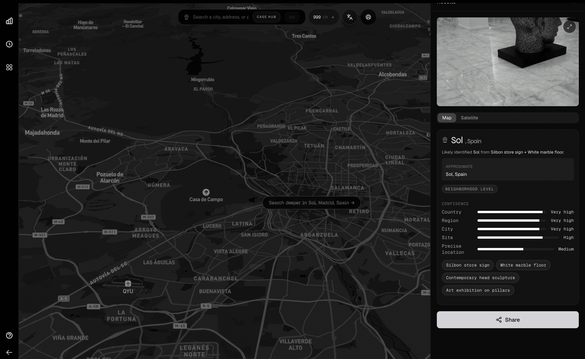
Introducing Desktop: the workflow around the prediction
The value was never just the prediction. It is the workflow around the prediction. Oceanir Desktop is where that workflow finally has a home.
The Complete Image Geolocation Workflow: From Metadata to Map Verification
The full chain analysts run to geolocate an image: EXIF check, visual anchors, reverse image search, AI estimation, and map verification, ending in a documented confidence trail.

How to Geolocate a Photo Without EXIF Data
Metadata survives a social platform inconsistently, and you cannot tell from the file which happened. Here is the workflow that works on photos that have already lost theirs, plus where Oceanir compresses the chain from hours to twelve minutes.
Why Privacy Matters in AI Geolocation Tools
What the privacy architecture should look like when journalists, GSOC teams, and investigators upload non-public source material. 100m coordinate rounding, AES-256-GCM per-user encryption, 30-day auto-cleanup, no bulk export.
Orca, to your favorite cities.
102-city coverage, more city-native reads, and sharper confidence in the places people actually asked us for.
Orca 1.5, a "Large Geospatial Model"
Geospy coined the term Large Geospatial Model. Orca 1.5 is Oceanir's take on that category: a system built to reason over location, orientation, and physical context from imagery.
Orca 1.4.1 - A needed update.
A focused Orca release that tightens confidence, cleans up weak property reads, and makes Miami outputs more stable where 1.4 still felt rough.
From One Image to Property Search
How an operations team moved from a single uploaded image to a short, actionable property list in under a minute, without exposing names or private identifiers.
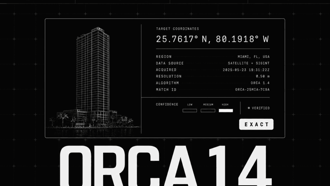
Orca 1.4
Introducing better property-level insight for better verification. Orca 1.4 understands not just where something is, but what's around it and why it matters.
Introducing Oculus, Search, and Memory
Introducing Oculus - a standalone hybrid-reasoning VLM that outperforms systems 10x larger - alongside oceanir-search and Oceanir-Memory for persistent, searchable geo-estimation verification.
A Message from Our Founder
Reflections on why we built Oceanir, the principles that guide us, and where we're heading next. A personal note on building privacy-first geo-estimation verification.
Orca 1.3: How We Expanded Internationally
Taking Orca global. How we brought image geo-estimation to four new cities: Lisbon, Madrid, Boston, and San Francisco.
Hyper-Local Miami
Deepening our understanding of Miami's visual architecture. Moving from broad city detection to neighborhood-level precision.
Introducing Orca 1: City-Scale Geo-Estimation AI
A lightweight, city-first visual geo-estimation model built to make urban location verification usable by anyone with an image and a question.
Locating a Car Show in 30 Seconds
A real-world demonstration of Oceanir's capabilities: How our AI identified a defensible location of a car show using only visual data.
What We Expect Going Forward
Our vision for the future of image geo-estimation and how Oceanir will continue to push boundaries in location-based intelligence.
Why We Built Oceanir
Discover the image-based geo-estimation technology behind Oceanir. How we're transforming location verification with machine learning and computer vision.